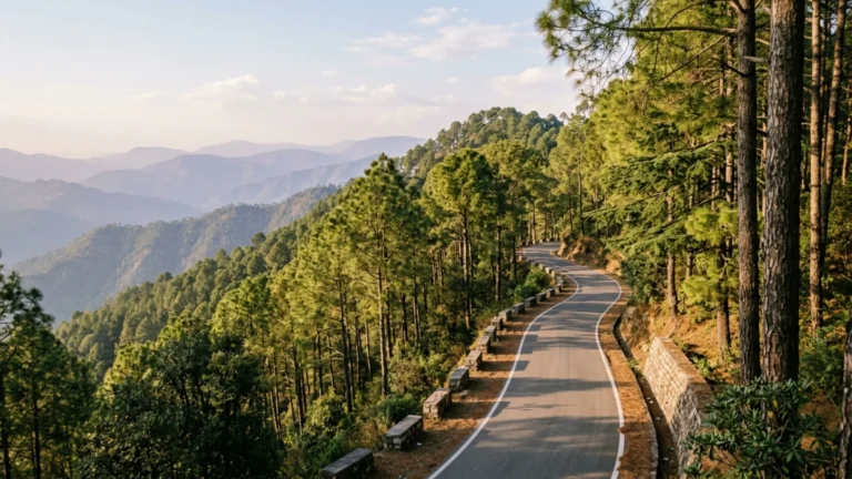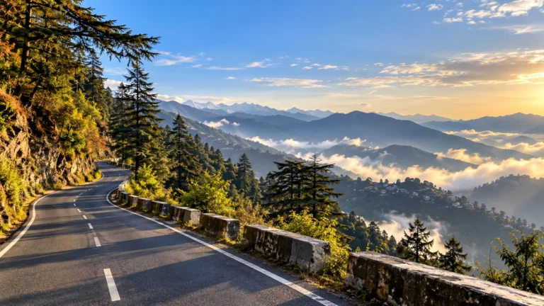
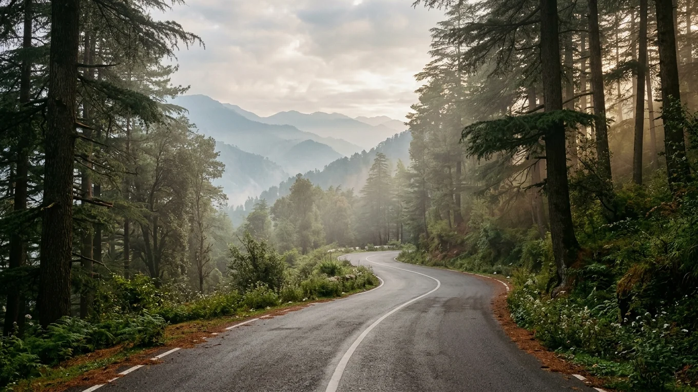
Weekend Mountain Escapes at a Glance: Reaching secluded Himalayan ridges from Delhi NCR does not require enduring the commercial congestion of Shimla or Mussoorie. Five distinct mountain corridors sit within 270 to 345 kilometres of the capital, typically requiring 5.5 to 7.5 hours of driving with a dawn rollout. By using strategic highway divergences—peeling off at Dharampur for Kasauli, branching via Sadhupul for Chail, taking the western Yamuna route via Paonta Sahib for Chakrata, ascending via Chamba for Kanatal, or driving 30 kilometres upstream of Rishikesh into Byasi canyon—travellers can bypass mainstream tourist gridlocks to reach quiet pine slopes, ancient cedar forests, and pristine river valleys.
Every Friday afternoon across Delhi NCR, thousands of motorists embark on identical journeys toward the hills. By evening, the outcome is predictable: multi-kilometre queues along toll barriers, slow crawls on the switchbacks below Mussoorie, and scarce parking on commercial Mall Roads. Escaping the plains for a restorative weekend should bring mountain stillness, not transferred city congestion.
The solution lies in highway geography. By diverging onto lesser-travelled mountain corridors before mainstream tourist streams converge, self-drive travellers can reach uncrowded sanctuaries with unhurried trail networks and expansive valley panoramas. For motorists planning curated weekend getaways from Delhi, five distinct routes offer authentic mountain quiet within seven driving hours of the capital.
The 5 Mountain Escape Corridors at a Glance
Each of the five corridors below offers a distinct landscape, altitude profile, and driving rhythm. Choosing the ideal escape depends on your departure window, comfort with mountain roads, and whether you prefer alpine ridges, dense cedar forests, or river gorges. Browsing our handpicked Himalayan destinations highlights the varied terrain reachable on a short road trip from Delhi NCR.
| Corridor & Ridge | Distance from Delhi NCR | Typical Drive Time (Dawn Start) | Elevation & Landscape | Crowd-Avoidance Advantage | Best For | Optimal Weekend Fit |
|---|---|---|---|---|---|---|
| Kasauli Pine Ridge | ~285–290 km | 5.5–6.5 hours | ~1,800 m / Lower Shivalik pine slopes | Diverges at Dharampur; avoids Solan & Shimla traffic | Couples, quick escapes & heritage walks | 48-Hour Weekend (Friday departure feasible) |
| Chail Cedar Sanctuary | ~335–345 km | 6.5–7.5 hours | ~2,250 m / Mid-Himalayan cedar & oak forest | Bypasses Shimla core via Kandaghat & Sadhupul | Forest walks, wildlife sanctuary & peace seekers | 2–3 Days (Saturday dawn start advised) |
| Chakrata Deodar Highlands | ~310–325 km | 6.5–7.5 hours | ~2,118 m / Ancient deodar canopy & high gorges | Western flank via Paonta Sahib; bypasses Dehradun/Mussoorie | Trekkers, nature purists & unhurried exploration | 3 Days (Long weekend recommended) |
| Kanatal High-Altitude Ridge | ~305–320 km | 6.5–7.5 hours | ~2,590 m / High ridge with Garhwal snow peaks | Eastern route via Rishikesh/Chamba; bypasses Mussoorie Mall Road | High-mountain views, apple orchards & cool weather | 2–3 Days (Saturday 05:00 AM start required) |
| Rishikesh–Byasi Foothills | ~270–280 km | 5.5–6.5 hours | ~450–550 m / Deep Ganga river canyon & cliffs | Rishikesh bypass + 30 km upstream; avoids town/ashram jams | Riverside camping, rafting & active nature getaways | 48-Hour Weekend (Friday departure feasible) |
Understanding the “Under 7 Hours” Rule: Departure Timing & Wheels-Up Windows
Travel times from Delhi NCR to the hills are primarily determined by departure discipline rather than highway speeds. Clearing Delhi, Gurgaon, or Noida by 05:00 AM allows motorists to pass key industrial corridors in smooth flow. Leaving after 07:30 AM typically adds 60 to 90 minutes of urban friction before reaching the open highway.
Furthermore, mountain roads require patient, defensive driving. While divided expressways allow covering 80 to 90 kilometres in an hour, winding Himalayan ascents average 25 to 35 km/h. In this guide, “under seven hours” is a realistic benchmark achieved with an early dawn start, brief rest stops, and deliberate routing around commercial bottlenecks.
Urban exit routes also vary significantly based on your starting location within NCR. Depending on your starting point in Delhi NCR, routes such as UER-II or the Western Peripheral Expressway (KMP) can help you reach the northbound corridor without crossing some of the busiest inner-city junctions, joining NH44 near Kundli. Motorists departing South or East Delhi should aim to cross the Singhu border before 05:30 AM to stay ahead of regional commercial trucks. For Garhwal destinations (Kanatal and Byasi), Noida and East Delhi residents enjoy immediate access to the Delhi-Meerut Expressway (NE-3), whereas Gurgaon drivers must navigate the peripheral ring corridors to avoid central Delhi morning bottlenecks.
A successful weekend road trip also requires strategic fuel planning. Fuel stations and EV fast-chargers are abundant along the plains expressways but become sparse, slower, and often crowded once you enter the hills. Experienced Himalayan drivers ensure their fuel tanks are filled before ascending the mountain corridors—stopping along NH44 near Karnal or Ambala, along NH344 near Saharanpur, or along NH334 near Khatauli. It is sensible to refuel before the final mountain ascent, where fuel stops can be less convenient than on the plains.
Travellers should also prepare for changing mountain weather as elevation increases. Air temperatures generally fall as elevation rises, but actual mountain temperatures vary considerably with season, cloud cover, wind and time of day. Temperature differences between the plains and higher ridges can be substantial, so pack for conditions at your destination rather than Delhi’s departure-time weather. Keeping warm fleece layers and windproof outerwear accessible in the vehicle cabin ensures you remain comfortable as you transition from plains heat into brisk mountain air.
Corridor 1: Kasauli Pine Ridge (Fastest Mountain Ascent)
Perched in Himachal Pradesh’s Solan district at roughly 1,800 metres (5,900 feet), the Shivalik ridge of Kasauli offers the fastest transition from plains heat to cool pine forests anywhere near Delhi NCR. Established as a cantonment in 1842, Kasauli retains an unhurried atmosphere shaped by colonial architecture and quiet woodland footpaths.
Highway Routing & The Dharampur Exit
The drive to Kasauli follows one of northern India’s smoothest highway corridors. Motorists travel north on NH44 across Haryana to Ambala, then merge onto the four-lane Himalayan Expressway (NH5) past Pinjore and Parwanoo. At the mountain junction of Dharampur, the route leaves the busy national highway, turning onto the winding state road for an intimate 10-to-12-kilometre climb up the ridge.
Why It Bypasses the Shimla Gridlock
The key to avoiding crowds is the Dharampur turnoff. The bulk of weekend traffic on NH5 continues uphill toward Solan, Kandaghat, and Shimla, often jamming near Kumarhatti. Peeling off at Dharampur allows Kasauli-bound motorists to exit the arterial stream entirely, avoiding up to two hours of highway congestion further north.
Terrain, Vibe & Cantonment Walking Trails
Because the Cantonment Board bans private vehicles on the Upper Mall Road, Kasauli’s core remains a peaceful walking sanctuary. Pedestrian paths meander past the historic Christ Church, dense chir pine slopes, and Gilbert Trail—a scenic cliffside footpath renowned for quiet birdwatching and sunset vistas across the Punjab plains.
The Upper Mall Road loops toward Sunset Point and the secluded Gilbert Trail, where quiet footpaths contour along pine-covered precipices. Morning walks here are exceptionally peaceful, accompanied by panoramic views across the Punjab plains and the distant snow-crested peaks of the Dhauladhar range.
Weekend Fit & Accommodation Strategy
Measuring under 290 kilometres with only 35 minutes of hill curves, Kasauli is the premier choice for a compact 48-hour weekend. A Friday departure by 03:30 PM allows travellers to arrive comfortably by dinner. For turn-by-turn guidance, review our 48-hour Kasauli weekend road trip guide.
To avoid cantonment parking constraints, consider staying outside the main barrier. In partnership with Upvan Hotels & Resorts, Kasauli Camps & Cottages provides valley-facing cottages on quiet pine terraces near Garkhal. Explore our complete Kasauli destination guide to plan your visit.
Corridor 2: Chail Cedar Sanctuary (Deep Forest Quiet Beyond Shimla)
Rising to approximately 2,250 metres (7,380 feet), Chail provides deep forest immersion among towering Himalayan cedar (Cedrus deodara) and banj oak. Created as a quiet royal summer retreat by the Maharaja of Patiala, Chail remains an unhurried mountain haven free of commercial resort sprawl.
Route Mechanics: Peeling Off at Kandaghat via Sadhupul
Motorists follow NH44 and NH5 past Dharampur, bypassing Solan to reach Kandaghat. While the national highway continues to Shimla, Chail travellers branch right onto the scenic Kandaghat-Chail-Kufri road. This 29-kilometre stretch winds through the Ashwini river valley, crossing the river at Sadhupul before ascending through terraced orchards into dense forest. For detailed stops, consult our detailed Delhi to Chail driving route.
Escaping the Kalka–Shimla Highway Crush
Turning at Kandaghat bypasses the most congested bottleneck of the Kalka-Shimla corridor. On long weekends, traffic approaching Shimla’s Victory Tunnel frequently stalls for hours. In contrast, the single-lane Sadhupul road carries light local traffic through peaceful mountain hamlets, delivering drivers directly into cool cedar groves.
Himalayan Oaks, Ancient Deodars & High Cricket Ground
Protected slopes within the Chail Wildlife Sanctuary shelter barking deer, cheer pheasants, and diverse bird species. Travellers can wander along Chail’s quiet pine forest trails, visit the historic Chail Cricket Ground—the world’s highest historic pitch at 2,250 metres—or enjoy quiet palace grounds. During mid-winter, this elevated ridge experiences pristine snowfall, detailed in our report on winter snowfall conditions in Chail.
The expansive grounds of the Chail Palace feature terraced lawns shaded by century-old deodars, while the historic cricket ground sits enclosed by dense forest ridgelines. Exploring these high cedar sanctuaries provides uninterrupted solitude, free from the commercial hawkers found in mainstream hill stations.
Weekend Fit & Accommodation Strategy
At approximately 335 kilometres, Chail requires 6.5 to 7.5 hours of driving. Because the final hill section from Kandaghat is narrow and winding, an early Saturday departure at 05:00 AM is strongly recommended over late-night Friday driving, putting you in Chail by early afternoon.
Staying on forest slopes outside the bazaar ensures maximum tranquility. In partnership with Upvan Hotels & Resorts, Chail Camps & Cottages offers independent cottages surrounded by cedar woods with panoramic balcony views. Consult our Chail destination guide for itinerary planning.
Corridor 3: Chakrata Deodar Highlands (The Untouched Western Garhwal Flank)
Tucked into Uttarakhand’s Jaunsar-Bawar highland region at roughly 2,118 metres (6,950 feet), Chakrata is one of the most secluded mountain cantonments in northern India. Founded in the late 1860s, it has remained free of commercial tourist infrastructure, characterized instead by ancient cedar groves, limestone gorges, and deep alpine quiet.
The Western Approach via Paonta Sahib & Kalsi (NH707A)
Reaching Chakrata requires approaching Garhwal from the west rather than via Dehradun. From Delhi NCR, motorists drive along NH44 to Karnal, branching via NH344 through Yamunanagar and Saharanpur toward Paonta Sahib. Crossing the Yamuna into Uttarakhand near Herbertpur, the route proceeds past Vikasnagar to Kalsi, home to an ancient 3rd-century BCE Ashokan rock edict.
At Kalsi, motorists join NH707A, beginning a sustained 42-kilometre mountain climb through Sahiya into the high ridges of Chakrata. The highway carves through dramatic limestone canyons before climbing into dense cedar canopies.
Completely Bypassing the Dehradun–Mussoorie Choke Point
The major routing benefit of Chakrata is that it circumvents Dehradun city and the Mussoorie bypass entirely. While thousands of weekenders navigate crawling traffic along Rajpur Road, Chakrata travellers enter Uttarakhand via a quiet foothill gateway, avoiding commercial traffic flows completely.
High Deodar Forest Stands, Tiger Falls & Cantonment Travel Rules
Chakrata rewards active explorers. The primary highlight is Tiger Falls, where mountain waters plunge 312 feet down a limestone cliff into a secluded pool, reached via a steep trail through village terraces as outlined in our complete guide to Chakrata and Tiger Falls. Nearby, Chilmiri Neck provides sweeping sunset views over the higher Garhwal ranges.
Statutory Cantonment Regulations: Because Chakrata is an active military cantonment, all Indian citizens must carry original government-issued photo ID. Foreign nationals face strict statutory entry prohibitions under military regulations and cannot enter the cantonment limits.
Driving Commitment, Daylight Discipline & Accommodation Strategy
Covering roughly 315 to 325 kilometres, Chakrata represents a committed 6.5- to 7.5-hour drive. The final 42 kilometres from Kalsi is an unlit, winding mountain road with minimal roadside services. Departing Delhi NCR by 04:30 or 05:00 AM on Saturday ensures completing the mountain climb in daylight. Chakrata is ideal for a three-day long weekend.
For secluded lodging, look to the surrounding forest ridges. In partnership with Upvan Hotels & Resorts, Chakrata Camps & Cottages offers weatherproof alpine cottages and camping set against quiet forest slopes. See our Chakrata destination guide for regional guidance.
Corridor 4: Kanatal High-Altitude Ridge (Snow Panoramas & High Mountain Air)
Resting along a scenic mountain ridge between Mussoorie and Chamba at approximately 2,590 metres (8,500 feet), Kanatal is the highest destination in this comparison. Its elevated setting ensures crisp alpine temperatures and expansive 180-degree panoramas of the snow-clad Garhwal Himalayas, including Bandarpunch, Swargarohini, and Trishul.
The Eastern Approach: Delhi-Meerut Expressway via Chamba
While Kanatal shares a ridgeline with Dhanaulti and Mussoorie, the optimal driving approach avoids Mussoorie entirely. Departing Delhi along the high-speed Delhi-Meerut Expressway (NE-3), drivers bypass Meerut, Muzaffarnagar, and Roorkee along four-lane bypasses on NH334. Past Haridwar and Rishikesh, motorists climb the wide All-Weather Chardham Highway (NH34) through Narendra Nagar to Chamba, turning west along the ridge for the final 15 kilometres to Kanatal.
Bypassing Mussoorie Mall Road from the North
The standard route to this ridge climbs from Dehradun through Mussoorie, where weekend gridlocks often cost drivers three to four hours. Approaching from the east via Rishikesh and Chamba utilizes wide, newly engineered highways that approach the ridge from behind, avoiding tourist queues. Motorists exploring wider ridge itineraries can also consult our Dhanaulti and Mussoorie ridge road trip guide.
Kaudia Forest, 8,500-Foot Panoramas & Apple Orchard Ridges
Kanatal’s high altitude provides refreshing alpine air. The premier nature excursion is Kaudia Forest, a dense cedar and oak sanctuary featuring level walking trails where walkers frequently spot barking deer and mountain pheasants. In autumn and winter, crisp skies offer breathtaking sunrise views with snow peaks glowing above sea-of-cloud inversions.
The 7-Hour Threshold Reality & Accommodation Strategy
Measuring roughly 305 to 320 kilometres, Kanatal sits at the upper edge of the seven-hour radius. While expressway segments to Rishikesh are swift, the sustained 80-kilometre climb to Kanatal requires 2.5 to 3 hours of focused driving. Total travel time typically spans 7.0 to 7.5 hours with standard rest stops, requiring an early 04:30 AM departure.
For unobstructed mountain views, stay directly along the ridge. In partnership with Upvan Hotels & Resorts, Kanatal Camps & Cottages offers alpine cottages and Swiss tents facing the high snow peaks. Explore our Kanatal destination guide and high ridge stays for seasonal advice.
Corridor 5: Rishikesh–Byasi Foothills Corridor (River Canyons & Alpine Waters)
For travellers seeking dramatic river valleys and active outdoor adventure rather than alpine ridges, the upper Ganga canyon is an unmatched option. While downtown Rishikesh experiences heavy pilgrim and cafe traffic, driving 30 kilometres upstream leads into the tranquil canyon of Byasi. Perched at approximately 450 to 550 metres (1,475 to 1,800 feet) where emerald waters cut through steep foothill cliffs, Byasi provides true riverside wilderness.
Expressway Speed: NE-3 to the Upper Ganga Gorge via NH7
The journey to Byasi is the fastest mountain route from Delhi NCR. Drivers take the Delhi-Meerut Expressway (NE-3) and NH334 past Roorkee, bypassing Haridwar on the outer ring road. From the outskirts of Rishikesh, the route joins the upgraded Badrinath National Highway (NH7), tracking the Ganga gorge past Shivpuri and Marine Drive across wide river terraces into Byasi.
Circumventing Downtown Rishikesh to Reach the Secluded Canyon
The key to this escape is bypassing downtown Rishikesh completely. On weekends, the streets of Tapovan and Ram Jhula suffer severe pedestrian and vehicle congestion. Using the outer bypass road and driving directly up the NH7 canyon allows travellers to avoid the town centre entirely, reaching secluded river beaches and towering cliffs within 45 minutes of leaving the plains.
White-Water Rapids, Riverside Terraces & Wilderness Camping
Byasi is the primary launch hub for northern India’s premier rafting runs, including the Roller Coaster and Golf Course rapids. Riverside retreats here occupy wide terraces set back against forested slopes. Days are spent on active rapids and sandy shores, while evenings offer clear canyon stargazing free from town noise and light pollution.
Evenings in the river canyon bring profound stillness as gentle mountain breezes cool the riverside terraces. Relaxing beside private white sand beaches beneath starlit skies offers a grounding wilderness escape that feels completely separated from Delhi’s relentless urban rush.
Rapid Friday Departures & Accommodation Strategy
Measuring roughly 270 to 280 kilometres with over 230 kilometres on multi-lane highways, Byasi is reachable in 5.5 to 6.0 hours with an early start. Because most of the drive is on modern expressways, Byasi is uniquely suited for a Friday afternoon departure (leaving NCR by 03:30 PM). For broader planning, visit our Rishikesh foothills destination guide.
To experience the canyon in peace, select a riverside camp. In partnership with Upvan Hotels & Resorts, Byasi Camps offers comfortable safari tents on river terraces with direct rafting access and serene canyon views.
Comparative Traveller Matrix: Which Corridor Fits Your Weekend?
Choosing the best route depends on your travel party’s pace and preferences. The matrix below outlines how each corridor serves specific traveller profiles.
- For Couples Seeking Quiet Sanctuaries: Kasauli and Chail offer secluded paths and intimate retreats. Explore our curated guide to quiet mountain sanctuaries for couples across the Shivalik ridges.
- For Families & Multi-Generational Groups: Chail and Kanatal provide gentle walking terrain and spacious open grounds, offering relaxed forest strolls suitable for all ages without strenuous climbs.
- For Active Travellers & High-Altitude Hikers: Chakrata and Byasi cater to energetic adventures through demanding waterfall descents, rugged deodar trails, and canyon white-water rafting.
When weighing individual choices against one another, clear trade-offs emerge across the five corridors:
Kasauli vs. Chail: Choose Kasauli if you have a strict 48-hour window and want minimal winding mountain driving; choose Chail if you have an extra half-day and desire deeper forest isolation at a significantly higher altitude.
Chail vs. Chakrata: Choose Chail for gentle heritage walks, Patiala royalty history, and rolling meadows; choose Chakrata if you crave raw, uncommercialized wilderness, towering ancient cedar groves, and dramatic limestone gorges.
Chakrata vs. Kanatal: Choose Chakrata for deep canyon seclusion and active hiking; choose Kanatal for grand 8,500-foot ridgeline vistas overlooking the snow-capped Garhwal Himalayan peaks.
Kanatal vs. Byasi: Choose Kanatal for crisp alpine air, apple orchards, and panoramic mountain contemplation; choose Byasi for thrilling river rafting, warm daytime sun, and vibrant canyon dynamics.
Tactical Planning: Choosing by Departure Window & Weekend Duration
Matching your destination to your departure timing ensures a stress-free mountain trip.
Friday Evening Departures (The 2-Night Sprint: Kasauli & Byasi)
When leaving Delhi NCR after work on Friday afternoon, restrict your destination to corridors with extensive four-lane highway infrastructure and minimal night hill driving. Kasauli and Byasi are the only two routes that comfortably satisfy this requirement. With expressways running past Parwanoo and Rishikesh, drivers face less than 45 minutes of winding hill roads, allowing an arrival before 10:00 PM when departing NCR by 03:30 PM.
Saturday Dawn Sprints (The Full Weekend: Chail, Chakrata & Kanatal)
For Chail, Chakrata, and Kanatal, night driving is strongly discouraged. Each involves substantial mountain ascents (29 to 80 kilometres) on two-lane roads with sharp curves and limited night assistance. A Saturday dawn rollout between 04:30 AM and 05:00 AM clears Delhi NCR before morning congestion and ensures completing the mountain climb in bright daylight.
Critical Mountain Driving Protocols (Engines, Brakes & Hill Passing)
Transitioning from plains expressways to winding hill roads requires mindful driving adjustments. Safe mountain travel relies on three basic rules:
- Engine Braking Over Continuous Braking: Shift into second or third gear on steep descents rather than riding friction brakes constantly, preventing brake fade and loss of stopping power.
- Unconditional Right-of-Way to Uphill Traffic: Downhill traffic must yield to climbing vehicles, as restarting on steep inclines is considerably harder for ascending cars.
- Strict Passing Discipline on Mountain Bends: Never overtake on blind corners. Honk gently before hairpins, and pass only when the road ahead is clearly visible and the driver ahead signals.
Furthermore, inspect your vehicle’s tyre pressures before leaving the plains. Mountain roads subject tyre sidewalls to lateral forces; maintaining recommended cold inflation pressures improves cornering grip and reduces the risk of rim damage on broken asphalt stretches. Always ensure your windscreen washer fluid is full, as seasonal pollen and road dust quickly reduce visibility on sunny mountain switchbacks.
Plan Your Mountain Escape with Upvan
Escaping Delhi’s relentless pace should be an unhurried, refreshing experience. Whether you seek the quiet pine trails of Kasauli, the deep cedar woods of Chail, the rugged limestone canyons of Chakrata, the high panoramas of Kanatal, or the emerald river gorge of Byasi, peaceful mountain sanctuaries lie within comfortable reach.
Plan Your Unhurried Mountain Road Trip
Need real-time road condition updates, seasonal weather advice, or help choosing the best route for your weekend? Speak with our Concierge Desk. Our team provides verified travel guidance and coordinates seamless stays across our curated portfolio of independent partner camps and cottages.
Plan Your Mountain Retreat with Upvan
Experience handpicked mountain resorts, pine-sheltered cottages, and riverside sanctuaries across Himachal Pradesh, Uttarakhand, and near Delhi NCR. Enjoy verified hospitality, best direct rates, and personalized mountain itineraries.